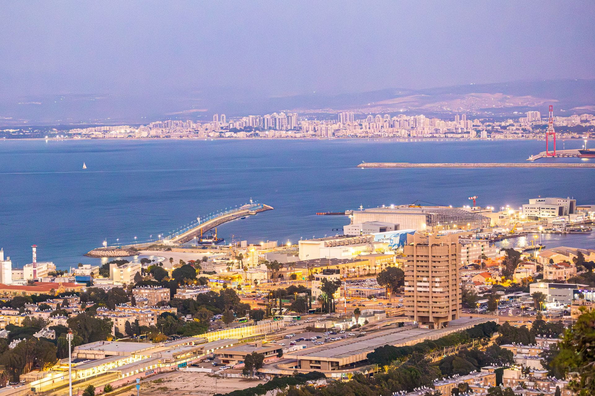
Israel’s housing markets feel the pull of Aliyah more sharply than almost any other national real estate system. New arrivals do not simply add heads to the census; they concentrate in specific districts, strain local utilities, and force planners to decide where roads, schools, and water lines must expand first. This article walks through how demand forecasts linked to immigration can be read against infrastructure readiness across the country’s distinct geographies, so that residents, municipal staff, and capital allocators share a common map.
Where New Arrivals Cluster and Why That Matters for Pipes and Roads
Recent years show Aliyah inflows concentrating first around the central coastal strip, then radiating into selected inland towns that offer relative affordability. Tel Aviv and the Sharon plain absorb a large share of professionals and young families, while certain mid-size cities in the north and south receive larger households seeking space. The Israel Central Bureau of Statistics tracks these settlement patterns monthly, giving anyone a free baseline for spotting which localities face the steepest near-term housing pressure.
Concentration creates a second-order problem: infrastructure that once served a stable population now faces sudden peaks. Water mains sized for older neighborhoods cannot always handle denser apartment blocks. Bus routes designed for commuters miss the school-run traffic of new communities. Understanding these clusters therefore starts with counting not only apartments needed but also the secondary capacity of clinics, kindergartens, and power substations. Without that broader lens, demand forecasts remain incomplete numbers on a spreadsheet.
Reading Aliyah Numbers Against Local Absorption Limits
Official immigration statistics alone never equal housing demand. Many newcomers stay initially with relatives or in temporary absorption centers, delaying permanent unit demand by six to eighteen months. Others arrive with capital and buy immediately. Forecasts that ignore this lag produce false urgency in some municipalities and complacency in others. A practical method multiplies expected arrivals by observed conversion rates from temporary to permanent housing in each region, then subtracts the existing vacant stock that can realistically be rented or sold within a year.
Regional variation is large. In Haifa and its suburbs the conversion rate tends to be faster because industrial and tech employment is dense. In the Negev the same rate is slower until employers and transport improve. Anyone building a forecast should therefore layer employment data and transit access scores on top of pure Aliyah counts. The IMF Israel country analysis regularly notes how labor-market absorption shapes residential construction cycles, offering an external check on domestic projections.
Coastal Corridor Capacity Versus Inland Expansion Zones
The coastal corridor from Ashdod through Netanya already carries the heaviest traffic and densest utilities. Adding large numbers of housing units there multiplies congestion costs and often requires expensive underground work for sewage and electricity. Inland towns, by contrast, still possess greenfield or low-density parcels where new roads and water lines can be laid at lower unit cost. The trade-off is longer commute times and thinner initial service provision.
Planners therefore face a geographic choice: densify the coast with high-rise projects that demand advanced smart infrastructure, or open inland sites that need basic trunk roads first. Either path must be timed to the expected pace of Aliyah. When forecasts show a multi-year wave of family arrivals, inland sites with room for larger dwellings gain priority. When the wave is younger and single, coastal micro-units near employment hubs become more rational. Foundation readers can track both options through the Smart Strategies archive, which regularly compares capital efficiency across these two geographies.
Utility and Transit Readiness as True Demand Multipliers
A finished apartment without reliable water pressure or evening bus service is only half a home. Infrastructure readiness therefore multiplies or dampens housing demand. In student-heavy neighborhoods, for example, the rollout of advanced metering systems can make dense campuses viable long before wider grid upgrades occur. Readers interested in that technical layer can examine Smart Metering for Student Housing Campuses: How the Market Actually Works for a concrete illustration of how technology unlocks absorption capacity.
Transit is equally decisive. Towns linked by frequent rail or dedicated bus lanes convert temporary residents into permanent ones faster. Towns that rely solely on private cars see higher drop-out rates among new arrivals who cannot afford two vehicles. Demand forecasts that omit these multipliers systematically overstate absorption potential in car-dependent zones and understate it along upgraded transit corridors. Municipal budgets that fund both housing and the connecting infrastructure therefore produce more durable results.
School Clinic and Social Fabric Pressures Beyond Bricks
Housing demand forecasts that stop at bedroom counts miss the social infrastructure that determines whether families stay. Classrooms fill first in the primary grades; pediatric clinics face appointment backlogs; community centers become overcrowded. These pressures are especially visible in localities that already host large families. Parallel research on Haredi Family Housing Typologies: Demand Elasticity Across Peer Hubs shows how household size and educational needs interact with unit design, offering transferable lessons for any high-fertility Aliyah cohort.
When social services lag, secondary migration begins. Families move again within two or three years, creating churn that wastefully multiplies infrastructure costs. Forward-looking forecasts therefore include simple capacity ratios: seats per classroom, physicians per thousand residents, open green space per child. Geographies that score poorly on these ratios need either temporary modular facilities or deliberate slowing of residential permitting until the social layer catches up.
Capital Recycling Paths When Infrastructure Lags Permits
Investors and developers sometimes receive building permits faster than the surrounding roads or sewers are upgraded. In those gaps, capital can still be recycled if the right methods are applied. One established sequence is the BRRRR approach adapted to local conditions. The framework outlined in The BRRRR Method Applied to Israeli Real Estate: A Framework for Capital Efficie shows how acquisition, renovation, rental, refinance, and repeat can free equity even while municipal works catch up. The key is selecting assets whose rent covers holding costs during the lag and whose eventual refinance rests on completed infrastructure rather than speculative future value.
Short-stay rental stock near tourist zones faces a different risk profile. Regulatory changes can alter cash-flow assumptions overnight. A concise orientation appears in Regulatory Risk Pricing in Short Stay Rentals: Fast Orientation for Curious Allo, useful for anyone whose Aliyah-linked portfolio mixes long-term family housing with seasonal units. Cross-border investors should also review tax residency and treaty effects; the comparison in Cross Border Tax Structuring for Tourism Assets: Global Market Comparison supplies a starting checklist.
Using Public Data to Stress-Test Local Readiness Scores
Every forecast should be stress-tested against independent public series. The Israel Ministry of Construction and Housing publishes periodic reports on building starts, completed units, and infrastructure budgets by district. Comparing those figures with Aliyah settlement data reveals mismatches: districts where unit starts trail expected arrivals, or where road budgets lag housing budgets by more than one fiscal year.
International benchmarks add further discipline. The OECD collects housing and infrastructure indicators that allow Israel’s performance to be set against peer economies facing similar migration or urbanization pressures. When local readiness scores fall consistently below OECD medians, private capital often waits for clearer public commitment before committing large equity. Transparent publication of both the gap and the closing plan shortens that waiting period.
Practical Geographic Filters for Decision Makers
Decision makers can apply three simple filters. First, rank localities by expected Aliyah arrivals over the next thirty-six months. Second, score each locality on water, power, transit, school, and clinic headroom using publicly available ratios. Third, subtract any large pipeline of already-permitted units that will absorb the first wave. The residual gap is the true infrastructure readiness shortfall. Municipalities and private partners can then target scarce capital at the bottlenecks that most constrain absorption.
Readers who want deeper clarification on data sources or terminology can consult the Foundation FAQ (frequently asked questions). Ongoing commentary and updated case studies appear regularly on the Blog. Together these resources keep the conversation grounded in verifiable numbers rather than anecdote.
Geography is not destiny, yet it sets the speed limit for how quickly Israel can turn immigration into lasting homes. Aligning housing demand forecasts with the readiness of pipes, rails, classrooms, and clinics remains the practical work of every planning cycle. When that alignment holds, both newcomers and long-term residents gain stability; when it breaks, costs multiply and opportunity is deferred. Foundation continues to track these alignments so that decisions rest on clear maps rather than hopeful assumptions.
Related Foundation reading: Foundation World Israel hub.
Timeless Value. Perpetual Legacy.